Between Christmas and New Years I rode from Wangaratta to Lilydale over three days. I'd been planning to do a longer ride from Bairnsdale to Lilydale (~500 km) but my sister Rosanna wanted to come and she had to be back for a New Years festival on French Island so that gave us only three days of touring. My other sister Leah wasn't doing anything so she was up for the tour as well.
So on Boxing Day morning we roughly planned our trip. We located ourselves at my place in Northcote and spent the rest of Boxing Day night repairing the bikes and setting them up for touring. My Long Haul Trucker was already ready to go, but my sisters were unprepared and disorganised and the bikes needed some tuning up and touring equipment additions.
 |
| At home in the wee hours, setting up the bikes for touring. |
Rosanna borrowed my other sisters (Rachel's) bike which had the braze-on's for a rack, but Leah's bike couldn't take a rack. This effectively meant that I'd be heavily handicapped with four panniers and the heaviest bike; Rosie would be somewhat handicapped with two panniers on a road bike, and Leah would be unimpeded with no extra load on a road bike. We figured this arrangement seemed appropriate based on our self-assessed levels of fitness.
Day 1
The crazy thing is we were up until 4:30 am getting the bikes and gear ready, and with two hours sleep we were up at 6:30 am to catch the 7:10 am train from Southern Cross. And yes, we made the train in time, with at least 10 minutes to spare.
 |
| Southern Cross Station, catching the 7:10 am service to Wangaratta. |
It'd been a while since I'd been so sleep deprived! Fortunately there were a few hours on the train to Wangaratta to doze, and I think we all nodded off, at least for a little while.
 |
| Arrival at Wangaratta Station. |
 |
| Leah applying sunscreen and getting ready to ride in the hot weather. |
Having skipped breakfast before catching the train to maximise sleeping time, we stopped at Kaluna Park in Wangaratta for a late morning breakfast.
 |
| Leah and Rosanna at our breakfast stop in Kaluna Park, Wangaratta. |
We then rode through town and found the famous Murray to Mountains Rail Trail and were on our way. The trail was bitumen, and mostly flat and straight. Our progress started well but the hot weather gradually sapped our energy, and within a few hours, Leah found herself in struggle town.
 |
| On the Murray to Mountains rail trail, near Wangaratta. |
 |
| On the Murray to Mountains rail trail, near Wangaratta. |
 |
| On the Murray to Mountains rail trail, near Wangaratta. |
 |
| Leah and Rosanna, on the Murray to Mountains rail trail, between Wangaratta and Myrtleford, stopped for a break in a patch of shade. |
 |
| On the Murray to Mountains rail trail, between Wangaratta, heading towards Myrtleford. |
 |
| Arrival in Myrtleford, Leah is exhausted and promptly collapsed in a patch of shade. This image makes me smile. |
It took a little under three hours to get to Myrtleford, for about 53 km or riding in 34 degree heat. We stopped for lunch in Jubilee Park, making sandwiches from the food we'd brought with us.
 |
| Lunch stop in Jubilee Park, Myrtleford. |
 |
| Lunch stop in Jubilee Park, Myrtleford. |
It was getting towards late afternoon and we were all feeling rather lethargic and reluctant to get going again. Eventually we got up and checked out the Tourist Information Centre to look at maps to get more of an idea of where we were going, since we only had maps on my iPhone (MotionX-GPS). We then headed off towards Lake Buffalo, leaving the Rail Trail behind.
 |
| At the Tourist Information Centre in Myrtleford, about to get moving again. |
 |
| On the road towards Lake Buffalo. |
 |
| Rosanna riding my slipstream on the way to Lake Buffalo. |
 |
| A view of some of the mountains on the way to Lake Buffalo. |
 |
| Rolling down towards Lake Buffalo. |
 |
| Riding over the dam of Lake Buffalo. |
 |
| The spillway of Lake Buffalo. |
 |
| A view of Lake Buffalo. |
 |
| A view of Lake Buffalo. |
Lake Buffalo was longer than I expected and went on for a good six or seven kilometres. It was all quite scenic and though, and the quiet roads made for pleasant cycling. I knew at some point we had to turn off to the west, and I was on the look-out for the turn-off but turned out I missed it! I was expecting a sealed road, and I was only seeing gravel roads, so we rode five kilometres before I checked the map and discovered we'd missed it.
 |
| Riding back down the road near Lake Buffalo after missing the turn-off. |
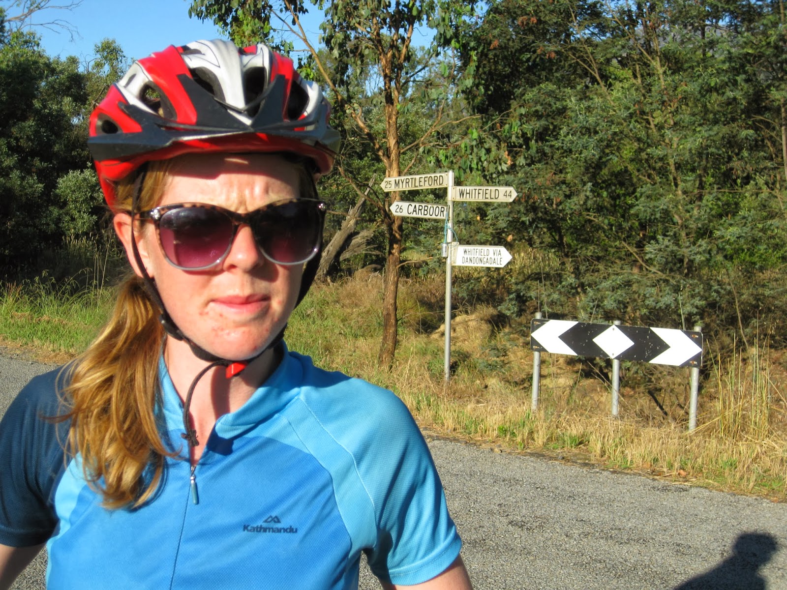 |
| Rosanna looking skeptical at the prospect of gravel roads at the turn-off we should have taken: Lake Buffalo-Whitfield Road |
 |
| The start of the Lake Buffalo-Whitfield road, heading towards Whitfield. |
 |
| Lake Buffalo-Whitfield Road |
 |
| Leah on the Lake Buffalo-Whitfield Road |
 |
| Rosanna taking a break on the Lake Buffalo-Whitfield Road, looking quizical. |
 |
| Heading west on the Lake Buffalo-Whitfield Road |
 |
| The road heading uphill towards Whitfield. |
 |
| Looking back towards Mount Buffalo. |
 |
| After cresting the top of the ranges and rolling downhill for a while, we found a place off the side of the road to set up camp for the night. |
Figuring it was wise to set up camp before dark, we picked a little grassed area beside a creek, off the gravel road just on dusk and set up the two tents. There was really only one issue with the campsite, and Leah discovered that issue while kneeling down to chop up pumpkin. Moments later she suddenly shrieked and jumped up - she'd knelt on a bull-ant nest and been bitten. Rosanna and I laughed, experiencing schadenfreude (or the English equivalent -
epicaricacy. Although ‘
epicaricacy’ isn’t anywhere near as well-known as the loan-word ‘schadenfreude’.
Anyway, having disturbed their nest, they were all running rampant, so we had to relocate our cooking station. These weren't just normal bull-ants either, they were huge, about 2 cm long. And Rosanna and I both later had our turns in getting bitten - mine on the inner upper thigh after one had crawled up my pants, and Rosanna through a ventilation hole on the sole of her cycling shoe.
 |
| Trangia-cooked pumpkin and chick-pea curry for tea. |
Fair to say we were all very tired when we finally got to bed just before midnight.
Day 2
The good thing about camping is that, with the general absence of artificial lighting, you usually get to bed early (although we hadn't managed it). The bad thing is you get woken up early by the light and heat of the sun. The forecast maximum for the day was in the high thirties.
 |
| Our campsite in the morning, up early with the heat of the sun. |
 |
| On the road towards Whitfield |
We stopped in Whitfield for a quick break and to refill our water bottles. It seemed to be a pleasant little town.
 |
| On the climb out of Whitfield, Leah approaching in the distance. |
 |
| Rosanna on the climb out of Whitfield. |
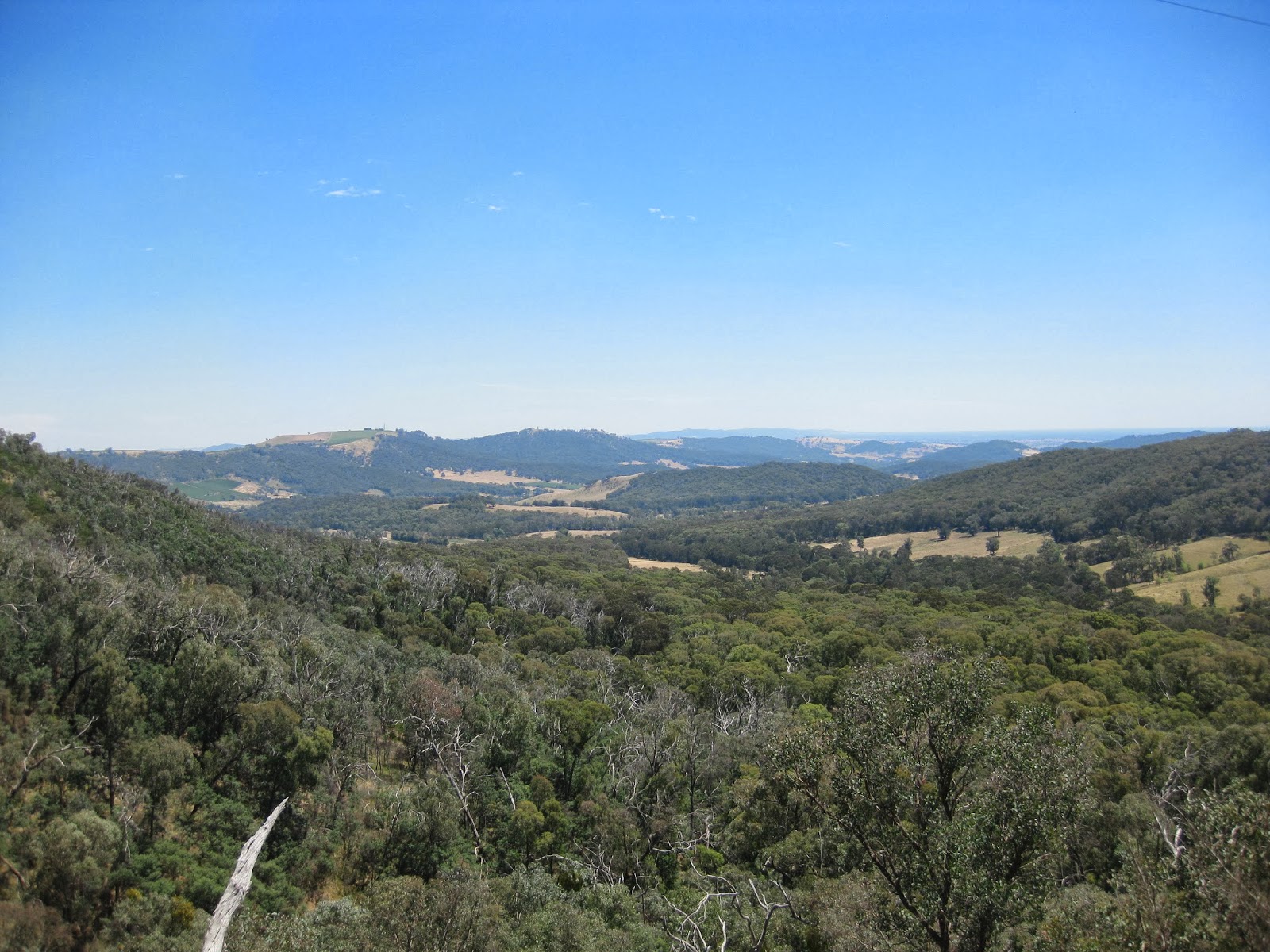 |
| A view from the climb out of Whitfield. |
 |
| Leah on the climb out of Whitfield. |
It was a descent climb, around 13 km long and over 500 m gain in elevation, but once we were at the top it was a scenic ride along the ridge-line for the next 26 km until Tolmie, and then a long descent down towards Mansfield.
 |
| Rosanna being tail-gated by a car who I suspect were driving slow to take in the view. |
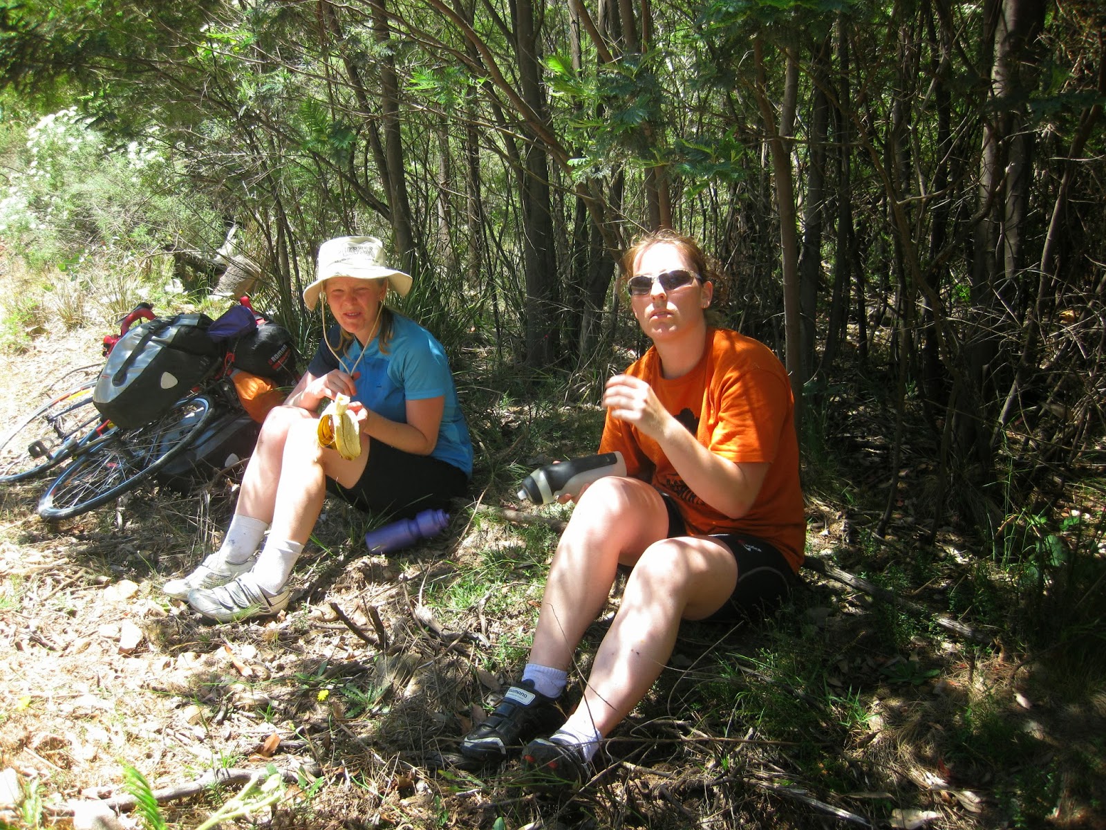 |
| A break in the shade of wattle saplings during the heat of the day, snacking on scroggin, bananas and glucose lollies. |
 |
| I thought this grim reaper on his motorbike in Tolmie was fantastic. |
 |
| Grim Reaper on a motorbike in Tolmie. |
 |
| Back down on the hot flat roads near Mansfield as Leah catches up. It was about 39 degrees at this point. |
 |
| Lunch break at the park in Mansfield, with Leah appearing somewhat hot and bothered. |
It was at this point that Leah decided she'd had enough and refused to ride any further. She said she was happy with how far she'd already made it, and that her legs were really too tired to ride any further. However it wasn't as simple as just "pulling out".
We were still some 160 km from Melbourne. Leah checked the V-Line bus time-table - the two buses for the day had already left. She deliberated about what to do and eventually decided to lock her bike up, and attempt to hitch-hike out of there. We found out later that she caught a lift to Benella, caught the bus from there back to Melbourne, waited outside my house in Melbourne for a few hours to get her car keys from inside, drove back to Mt Franklin at about mid-night, then had to make the five hour return-drive to Mansfield the next day to pick up her bike. I thought it might have been easier just to ride the remaining 160 km!
 |
| Leah's abandoned bike which she left in the main street of Mansfield. |
So it was late afternoon when Rosanna and I continued on by ourselves. We took a break in Bonnie Doon and at that point the forecast change came through with force. What had been relatively gentle northerly cross-wind suddenly switched to a gusty, roaring southerly cross-wind, which of course became a head-wind as we turned south onto Cole Road at Woodfield.
 |
| Cole Road, a short-cut to get to Alexandra. |
I took a short video to show how windy it was. We were travelling at a snails pace up this road, holding 10 km/h with difficulty and almost being blown to a stand-still at times.
 |
| Cole Road, a short-cut to get to Alexandra. |
 |
| Cole Road, looking back on where we'd come from. |
 |
| A view of the hills as the sun sets. |
 |
| Me observing the landscape. |
 |
| Rosanna's hip Instagram (filtered) shot of the hills. |
Just as we were approaching the main hill on Cole Road, I could tell I was running out of energy and I think Rosanna was the same. We agreed we'd hit the hill fresh in the morning and found this little-used driveway to a paddock to set up camp. It was actually quite a good camp-site, Rosanna and I both liked it more than the previous one.
 |
| Our campsite for the night. |
 |
| Our campsite for the night. |
 |
| Day 2 (part 1): Edi Upper to Bonnie Doon, 95 km (then my Garmin battery went flat, route continued in part 2 from my iPhone). |
Day 3
 |
| Rosanna pushing her bike up the first hill of the day. |
 |
| Rosanna back on the bike, cresting the top of the hill. |
 |
| My silhouette at the top of the hill. |
 |
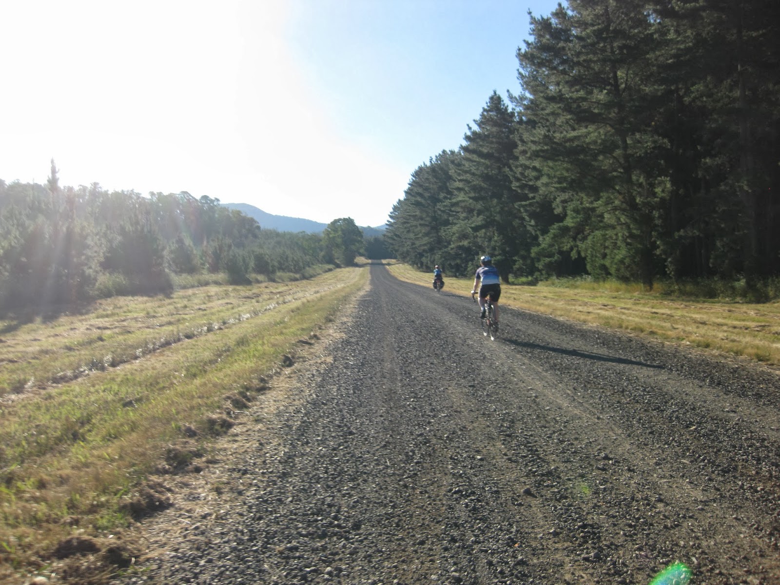
| The rough gravel road back down the hill. |
 |
| Rolling down Cole Road towards Alexandra. |
 |
| Cole Road, on the way to Alexandra. |
We got onto the main road (Maroondah Highway) and followed that through Alexandra and the Cathedral Ranges, and stopped in Buxton for lunch. I wasn't going to pass by the opportunity to stop in at the
Igloo Roadhouse for a Buxton Burger!
 |
| A Buxton Burger for lunch, it really hit the spot! |
 |
| Rosanna's vego Buxton Burger in front, mine behind. |
After this delicious lunch we were back on the Maroonday Highway with an incessant stream of traffic passing us until we got to the turn off for Acheron Way at Narbethong. This quite road took us all the way across to Warburton, 35 km through fantastic scenery. With barely any traffic, it was a relief and a treat to be on this road after the highway.
 |
| Acheron Way near Narbethong, probably the most beautiful road of our journey. |
 |
| Acheron Way. |
 |
| Rosanna on Acheron Way |
 |
| Me on Acheron Way |
 |
| Acheron Way. At some point the road turned to gravel, which probably helped discourage traffic from using the road. |
 |
| Acheron Way, on the extensive gravel section. |
 |
| Finally at the top, after about 20 km of climbing, Acheron Gap. |
 |
| Acheron Way, near Mt Donna Buang. |
From this point it was fairly flat, and then an exhilarating 6% drop down to Warburton for 7 km.
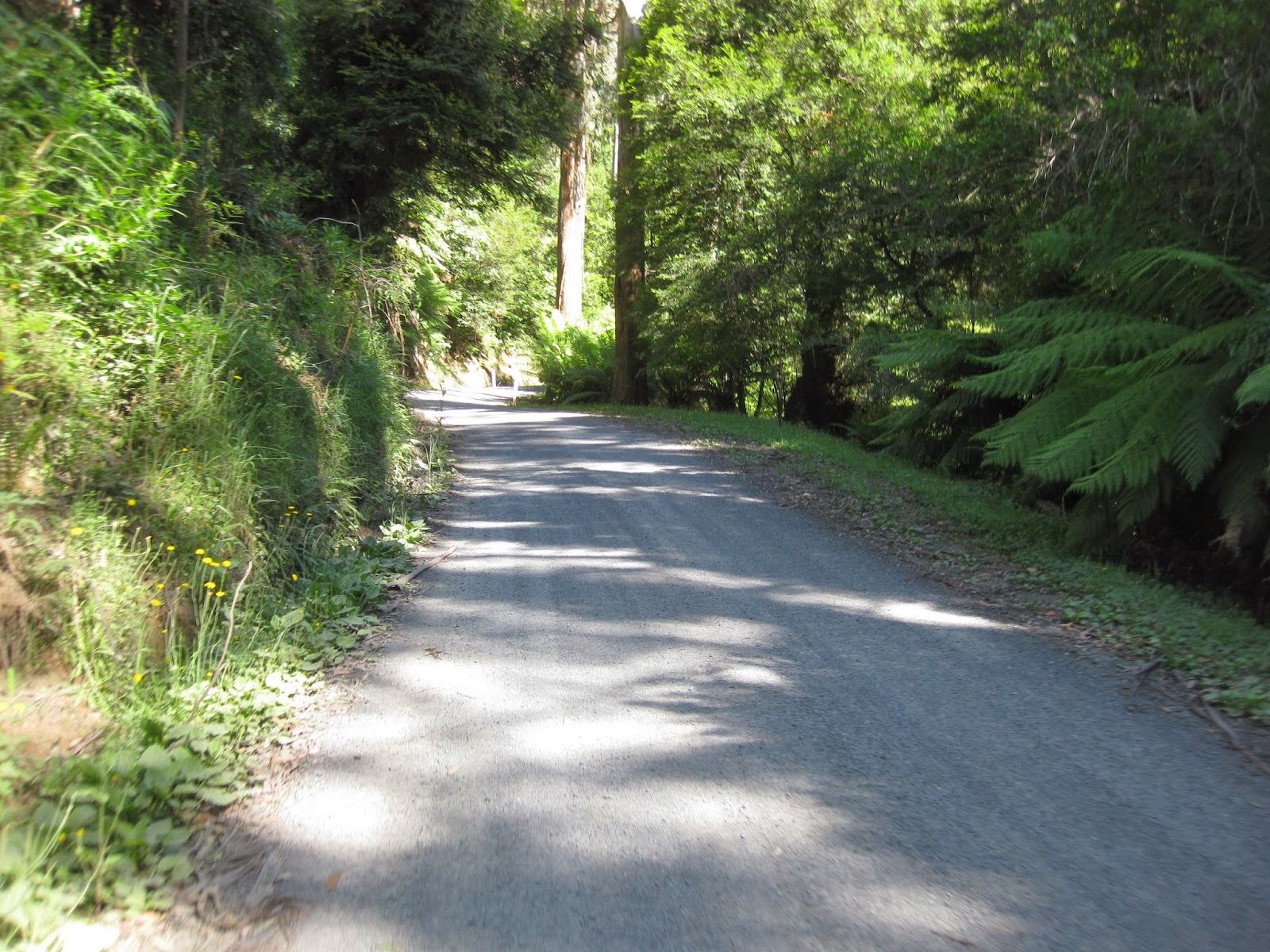
We then followed the Lilydale-Warburton rail trail from Warburton to Lilydale. Below is the only shot I took of the 40 km trail, blurred because I was riding. But see my other
post on a previous bike tour for more on this trail.
 |
| Lilydale to Warburton rail trail. |
Then from Lilydale we hopped on the train back to the city and then home to Northcote (and Preston for Rosanna).
 |
| On the train back to the city from Lilydale. |
This was easily the biggest bike tour Rosanna had done, and I think she surprised herself at how capable she was. I was also impressed. 360 km in three days, with barely a complaint. Leah also did well, covering 180 km in the two days until she pulled the pin. She'll have to put in a bit more training to keep up with us next time.


